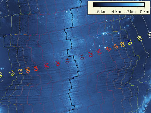
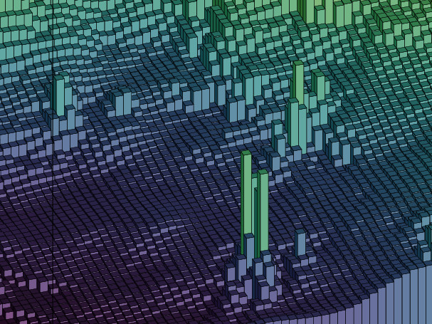
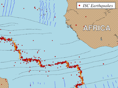
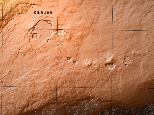
The Generic Mapping Tools (GMT) are widely used across the Earth, Ocean, and Planetary sciences and beyond. A diverse community uses GMT to process data, generate publication-quality illustrations, automate workflows, and make animations. Scientific journals, posters at meetings, Wikipedia pages, and many more publications display illustrations made by GMT. And the best part: it is free, open source software licensed under the LGPL.
Got questions? Join the friendly GMT Community Forum to get help and connect with other users and developers.
Whether Cartesian, geographic, or time-series, GMT can process your data. GMT enables you to explore new ways to analyze data and to build custom displays for drafts, publications, or final presentations. GMT allows unlimited customization via scripting in several languages.
Visit our Documentation page to find out all that GMT can do for you.
Used GMT in your research? Please consider citing GMT so we can justify the continued development efforts.
GMT has been used from UNIX and Windows command lines for decades. More recently, GMT has been rebuilt as an Application Programming Interface (API) and can now be accessed via wrapper libraries from MATLAB/Octave, Julia, and Python, as well from custom programs written in C or C++.
See all the projects the team is working on in the Ecosystem page.
Want to see the code? All development happens through GitHub in our GenericMappingTools account.